
Rain fell heavily to begin the workweek in New Hampshire, leading to the possibility of localized flooding. Rain, heavy at times, is expected through most of the day Monday, which will be very mild and could break some records with highs in the 50s and low 60s. There is a low chance of a thunderstorm, too. >> Interactive Radar | Traffic trackerRainfall amounts between 1.5 and 3 inches will result in road ponding and possible flooding along area streams and small rivers. FLOOD THREATA flash flood warning is in effect until 2 p.m. Monday for Carroll County, southeastern Coos County and eastern Grafton County due to heavy rain and melting snow. Communities in the warned area include the White Mountains region towns of Conway, Lincoln, Tamworth and others. According to the National Weather Service, about 1-2 inches of rain fell in the warned area, and another 1-3 inches are possible before the storm moves out. A flood watch has been issued for most of New Hampshire north and west of Manchester, except northern Coos County. A coastal flood watch has also been issued for coastal Rockingham county from Monday afternoon through Monday evening.>> National Weather Service alerts and bulletinsRiver flood warnings, meanwhile, are in effect for the Pemigewasset River in Woodstock and also in Plymouth.>> Hour-by-hour timelines: Heavy rain | Wind gustsA coastal flood watch will be in effect from 2 p.m. until 5 p.m. Monday for a chance of minor flooding around the afternoon high tide, which is at 3:16 p.m. at Hampton Beach.GUSTY WINDSGusty winds will increase to 20 to 35 mph with some gusts reaching 40 to 50 mph, and possibly as high as 60 mph along the coast. These high winds will trigger some power outages, especially along the coast and across some of the higher terrain in western and northern New Hampshire.>> Download the free WMUR app to get updates on the go: Apple | Google Play <<As a result, a wind advisory has been issued for Coos, Strafford, Rockingham, Hillsborough and Cheshire counties Monday for possible wind gusts of up to 50 to 55 mph. A high wind warning has been issued for coastal Rockingham County from Monday morning through late Monday night for winds 30 to 40 mph and gusts to 65 mph.>> See the latest hour-by-hour timeline for wind gusts:–MOVING FORWARD The rain and highest of the winds wind down Monday evening.Tuesday will feature clouds and partial sunshine along with a spot rain or snow shower for some. Be weather aware! Download the WMUR app for Apple or Android devices and turn on push notifications. You can choose to receive weather alerts for your geolocation and/or up to three ZIP codes. In addition, you can receive word when precipitation is coming to your area.Follow the Storm Watch 9 team on social media:Mike Haddad: Facebook | XKevin Skarupa: Facebook | XHayley LaPoint: Facebook | XJacqueline Thomas: Facebook | XMatt Hoenig: Facebook | X
Rain fell heavily to begin the workweek in New Hampshire, leading to the possibility of localized flooding.
Rain, heavy at times, is expected through most of the day Monday, which will be very mild and could break some records with highs in the 50s and low 60s. There is a low chance of a thunderstorm, too.
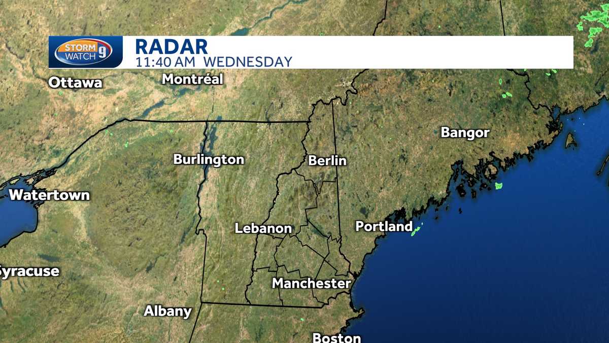
>> Interactive Radar | Traffic tracker
Rainfall amounts between 1.5 and 3 inches will result in road ponding and possible flooding along area streams and small rivers.
FLOOD THREAT
A flash flood warning is in effect until 2 p.m. Monday for Carroll County, southeastern Coos County and eastern Grafton County due to heavy rain and melting snow. Communities in the warned area include the White Mountains region towns of Conway, Lincoln, Tamworth and others. According to the National Weather Service, about 1-2 inches of rain fell in the warned area, and another 1-3 inches are possible before the storm moves out.
A flood watch has been issued for most of New Hampshire north and west of Manchester, except northern Coos County. A coastal flood watch has also been issued for coastal Rockingham county from Monday afternoon through Monday evening.
>> National Weather Service alerts and bulletins
River flood warnings, meanwhile, are in effect for the Pemigewasset River in Woodstock and also in Plymouth.
>> Hour-by-hour timelines: Heavy rain | Wind gusts
A coastal flood watch will be in effect from 2 p.m. until 5 p.m. Monday for a chance of minor flooding around the afternoon high tide, which is at 3:16 p.m. at Hampton Beach.
GUSTY WINDS
Gusty winds will increase to 20 to 35 mph with some gusts reaching 40 to 50 mph, and possibly as high as 60 mph along the coast. These high winds will trigger some power outages, especially along the coast and across some of the higher terrain in western and northern New Hampshire.
>> Download the free WMUR app to get updates on the go: Apple | Google Play <<
As a result, a wind advisory has been issued for Coos, Strafford, Rockingham, Hillsborough and Cheshire counties Monday for possible wind gusts of up to 50 to 55 mph. A high wind warning has been issued for coastal Rockingham County from Monday morning through late Monday night for winds 30 to 40 mph and gusts to 65 mph.
>> See the latest hour-by-hour timeline for wind gusts:
—
MOVING FORWARD
The rain and highest of the winds wind down Monday evening.
Tuesday will feature clouds and partial sunshine along with a spot rain or snow shower for some.
Be weather aware! Download the WMUR app for Apple or Android devices and turn on push notifications. You can choose to receive weather alerts for your geolocation and/or up to three ZIP codes. In addition, you can receive word when precipitation is coming to your area.
Follow the Storm Watch 9 team on social media: