
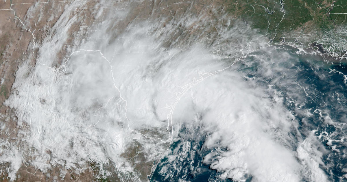
Tropical Storm Harold made landfall on Texas’ Padre Island in the Gulf of Mexico on Tuesday morning, the National Hurricane Center said. The storm was expected to bring heavy rain and powerful winds to southern Texas and northern Mexico as it moved inland.
Harold was the second named storm to hit the U.S. this week after Tropical Storm Hilary made landfall in Mexico on Sunday and moved north, bringing record-breaking rainfall to Southern California.
In the Gulf, the system that became Harold developed Monday morning and strengthened throughout the day before growing from a tropical depression into a tropical storm around 1 a.m. CDT Tuesday, the hurricane center said.
As of 1 p.m. CDT, the storm was located about 20 miles east-southeast of Hebbronville, Texas, according to the hurricane center. It had maximum sustained winds of 45 mph and was heading west-northwest at 21 mph.
Tropical-storm-force winds were extending up to 115 miles from Harold’s center with sustained winds of 35 mph recorded in Falfurrias, Texas, southwest of Corpus Christi. The storm was expected to weaken as it moved inland.
NOAA/NESDIS/STAR GOES-East
From the mouth of the Rio Grande to Port O’Connor, Texas, a tropical storm warning was in effect, meaning tropical storm conditions were expected for the area. From Port O’Connor northeast to Sargent, Texas, a tropical storm watch was in effect, meaning tropical storm conditions were possible for that area.
Harold was expected to drop 2 to 4 inches of rainfall across South Texas with as many as 6 inches of rain in some places through early Wednesday, the hurricane center said.
“Scattered instances of flash flooding will be possible,” the hurricane center said.
Texas Gov. Greg Abbott urged people in the path of the storm to check road conditions before driving.