
Advertisement.
Here are the latest simple updates we have on wildfires threatening NWT communities, with time stamps below.
We have kept these summaries brief so you can get updates without having to wade through many paragraphs. More detailed information is published by NWT Fire and local governments.
Use our guides for help: guide to getting out, guide to where to stay, guide to everything else (including what we know about financial supports). Check our homepage frequently for other updates.
Here’s our fire map. Here’s what to expect from Cabin Radio in the days ahead.
Advertisement.
Advertisement.
All communities listed are unsafe for your return. Do not travel. There is no timeline for return unless stated.
Yellowknife, Ndılǫ, Dettah, Ingraham Trail
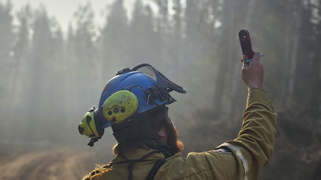
10:18am Thursday: NWT Fire says strong winds today could increase smoke and fire activity. Temperatures continue to cool with a forecast high of 15C.
Today crews are focusing on targeting hotspots of the Yellowknife/Behchokǫ̀ fire, ZF015, identified by heat scan yesterday. Tankers and helicopters will be used as needed and crews will be active on Highway 3 between kilometre 280 and Yellowknife.
Crews are mopping up and bucketing hot spots on the northwest and southeast sections of Ingraham Trail fire ZF011, and are demobilizing equipment to be deployed elsewhere.
Advertisement.
Advertisement.
Dettah fire ZF085 remains out of control. Crews are prepared to action hot spots and any threat to containment lines.
Hay River, KFN, Enterprise, Kakisa
10am Thursday: The Town of Hay River says it plans to release its re-entry plan by the end of the day on Friday. It says the dates for re-entry will not be confirmed until early next week, however, once unfavourable weather conditions are expected to pass. Dry and warm conditions are projected from Saturday to Monday.
NWT Fire says after a thorough assessment of areas of Highway 1 impacted by the fire, it has confirmed five additional structures were lost. It suspects the losses occurred during the fires initial approach from near Kakisa to Enterprise and toward Hay River. Three more structures were also confirmed lost in the 6 Mile Creek area, which NWT Fire says occurred on August 25.
The wildfire agency says conditions this morning were tempered by an inversion, where hot and cool air meet and trap smoke and fog close to the ground, shading the fire from the sun. It says this inversion has since burned off and temperatures are expected to reach 20C today with brisk, gusty winds from the south.
Tomorrow the wildfire agency says it expects continued warming and winds from the southwest. The team is preparing for “what could be a highly active fire weekend.”
Helicopters continue to complete drops on hot areas of the fire and airtankers are on standby. Crews are also working to secure Hay River, Kátł’odeeche First Nation and surrounding areas.
Fort Smith
11:30am Friday: Parks Canada says Fort Smith will reach 20C on Friday with southeast then easterly winds gusting to 20 km/h, and no significant rain in the forecast.
“Progress continues and we are getting closer each day” to people coming home, Parks Canada stated.
“Before fire personnel can recommend to communities that it’s safe to return, the northeastern perimeter of the fire – stretching from Thebacha down underneath Fort
Smith and across to below Fort Fitzgerald – must be free of hot spots and extinguished far enough in that fire will not spread outside the current boundary. Structure protection around communities will also need to be removed.”