
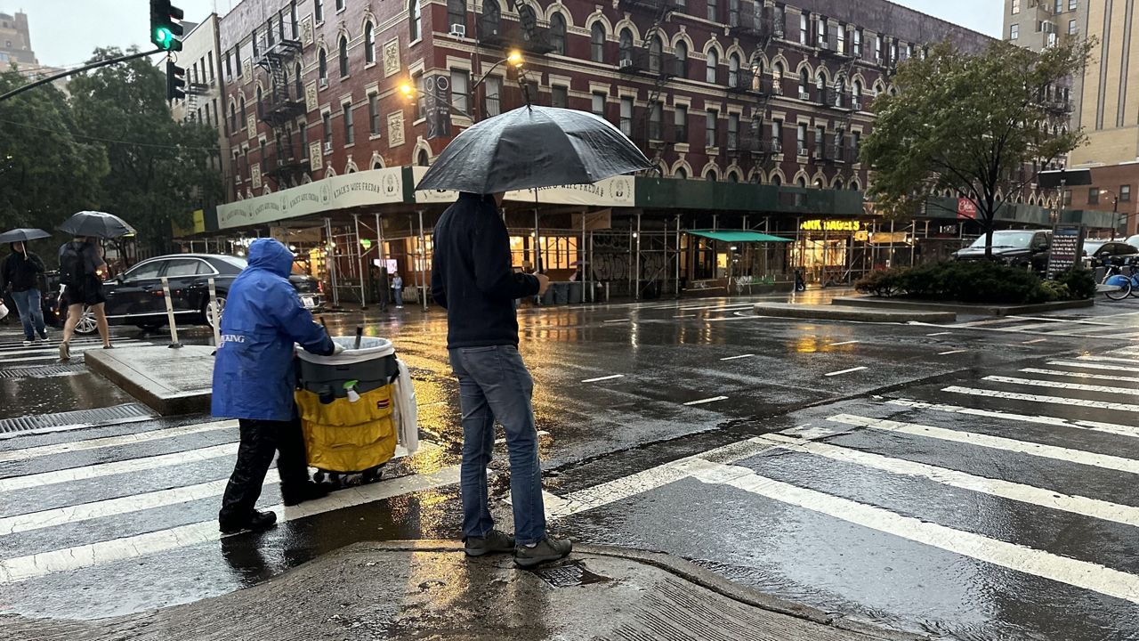
Showers are in store to start the weekend, with the chance for pockets of heavy rain on Saturday.
Some downpours are likely early Saturday, with the best chance for heavy rain between 4 and 10 a.m.
A Flood Watch has been issued for the five boroughs from 2 a.m. Saturday through Saturday evening, but an extreme flooding event like the one the city saw last week is not expected.
What You Need To Know
- A Flood Watch has been issued for the five boroughs from 2 a.m. Saturday through Saturday evening, but an extreme flooding event like the one the city saw last week is not expected
- The city is advising New Yorkers to be prepared for “heavy rain and thunderstorms,” with 1.5 to 2.5 inches of rainfall possible, localized amounts of 3 to 4 inches are also possible where the heavier rain develops
- City officials said people should avoid travel if necessary and use public transporation when possible. They said if people need to drive, they should do so slowly while sticking to major streets and highways
- Residents with basements in flood-prone areas and those living in basement apartments should start preparing now by removing their belongings from the floor and planning to move to a higher area
Still, the city is advising New Yorkers to be prepared for “heavy rain and thunderstorms,” with 1.5 to 2.5 inches of rainfall possible. Localized amounts of 3 to 4 inches are also possible where the heavier rain develops.
City and transit officials encouraged New Yorkers to plan ahead and expect delays when traveling. But better yet, avoid traveling, they said.
“The ground is still saturated with last week’s heavy rain, which could result in potentially significant flooding and travel disruptions in typical flood-prone areas,” First Deputy Mayor Sheena Wright said at a news briefing Friday.
During the severe storms on Sept. 29, the area around JFK airport saw the city’s most rain at over eight inches. Nearly 5.5 inches fell in Central Park, making it the sixth wettest day in the past 141 years.
Wright added that residents with basements in flood-prone areas and those living in basement apartments should start preparing now.
“Remove your belongings from the floor, and prepare to move to a higher area,” Wright said.
Officials said if people need to drive, they should do so slowly while sticking to major streets and highways, plus avoid subways during flooding.
“Do not drive into flooded areas or streets or go into flooded subway stations. Six inches of moving water can knock over an adult,” Wright said.
Emergency Management Commissioner Zach Iscol said his department activated a flash flood emergency plan on Thursday.
“Our agencies from the Department of Environmental Protection, Sanitation, Transportation are already on the ground clearing catch basins, particularly in areas that we know flood regularly. This is crucial to preventing rainwater from causing significant disruptions,” Iscol said.
Officials also provided an update on Woodhull Hospital in Brooklyn. They said repairs to the damage caused by last week’s storms are complete. The hospital will resume operations at the emergency and labor delivery units 8 a.m. Saturday. The rest of the hospital opens to patients Tuesday morning.
The rain is coming from a cold front that will usher in the city’s first 40-degree weather from Sunday night into Monday morning.
The rainfall could be slightly enhanced by the remnants of Post-Tropical Cyclone Philippe in the Atlantic, which will pass well east of the city this weekend.