
New technology will be used in the B.C. Interior this summer to help predict the spread and intensity of wildfires, the government says.
The system draws on weather models, topographical maps, and real-time information about forest conditions to produce fast and accurate predictions of fire behaviour, officials say.
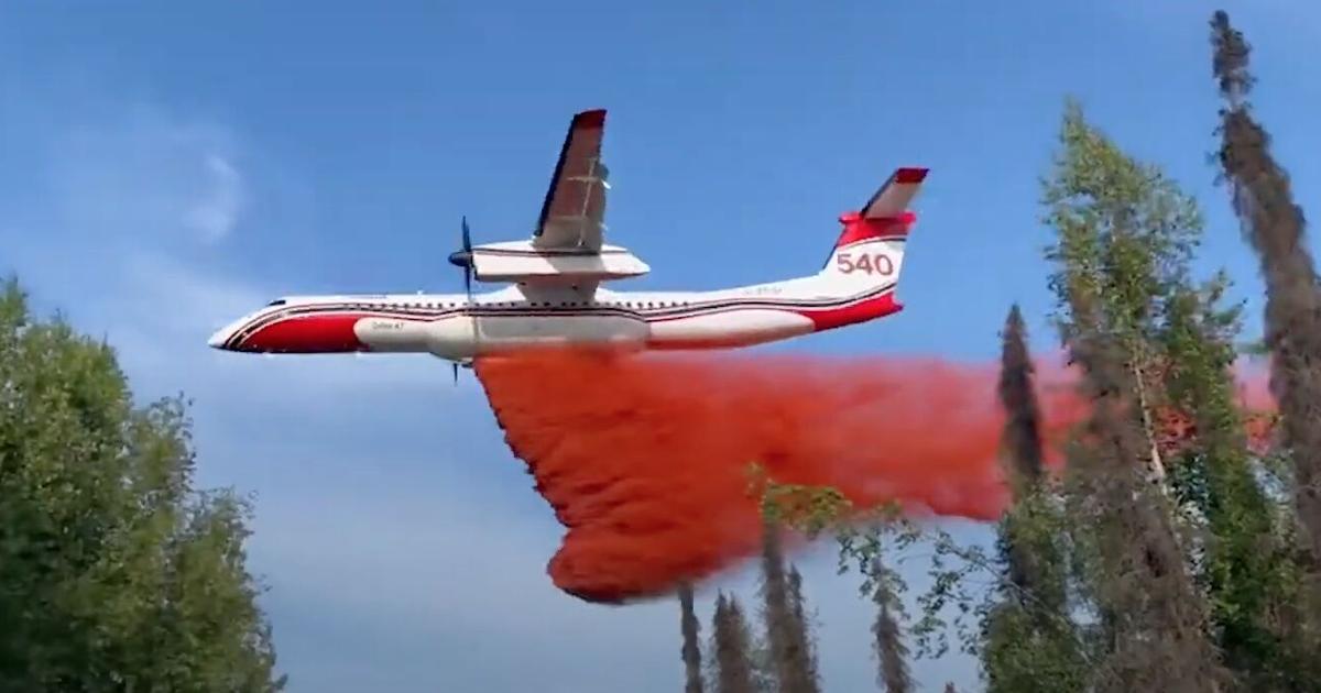
That will allow more efficient deployment of ground crews, air tankers, and bucketing helicopters, and give more time for any evacuations that might be necessary, the government says.
“During a wildfire, every second counts as professionals deploy aircraft and firefighters to tackle blazes,” Forests Minister Bruce Ralston said in a Monday release.
Although it’s only mid-March, the Okanagan fire season got off to an early start on the weekend with a forest fire over the weekend in the Lumby area. It grew to approximately three hectares in the Creighton Valley area, about 18 km east of the North Okanagan town, before being held, the B.C. Wildfire Service reported.
Last year was the most destructive wildfire season in B.C. history, with 2.84 million hectares of forest destroyed. That was more than double the area of forest burned in any previous year.
In 2023, 400 homes across B.C. were destroyed or heavily damaged by wildfires. Half of them were in the Central Okanagan, as the McDougall Creek erupted in mid-August and at one point forced the evacuation of almost 30,000 people.
In the Monday release, the government says the new predictive technology was successfully tested last year in the Coastal Fire Centre. In August, a lightning storm triggered more than 110 wildfires in four days.
“With the support of a fire behaviour specialist using the new trial software, we were able to triage the new starts as they were discovered,” senior wildfire officer Greg Boyachuck said in the release.
“The software was able to produce a predicted 12-hour fire spread for each new incident in less than 15 minutes, compared to a previous manual process which could take up to several hours for each incident,” he said.
“This allowed us to identify which wildfires were a priority for initial attack resources based on their potential to spread and threaten communities,” he said.
Similar predictive technology is already in use in California and Australia.
Other firefighting improvements for this year include using drones to start aerial ignitions, which are planned burns to get rid of fuel before it can be consumed by a wildfire, and more use of infrared scanning technology.
Source link
credite